Section Case study: Mapping People’s Feelings in a Neighborhood: technique, analysis and applications
Yodan Rofé - Unit of Desert Architecture
and Urban Planning.
Department of Man in the Desert.
The Jacob Blaustein Institute for Desert Research.
Ben-Gurion University of the Negev, Israel
This paper presents a new method of surveying people’s feelings in the environment, at the neighborhood scale.
It attempts to bridge a gap between neighbohrood quality studies which tend to rely on aggregate assessments of well-being, and environmental preference studies, which tend to concentrate on physical variables only and to rely on a highly structured set of stimuli.
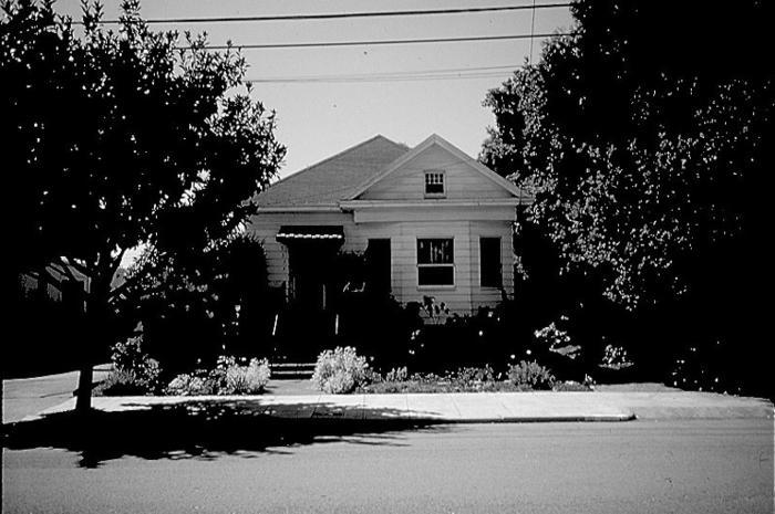
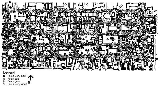
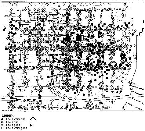
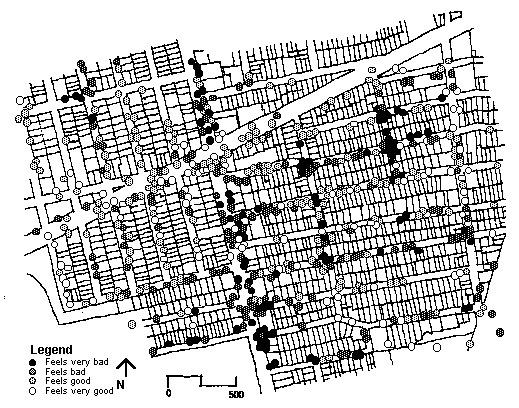
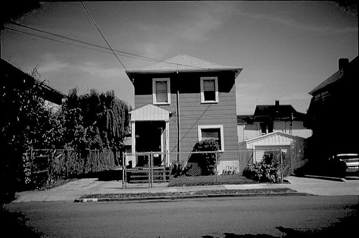
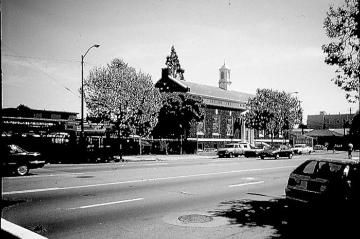
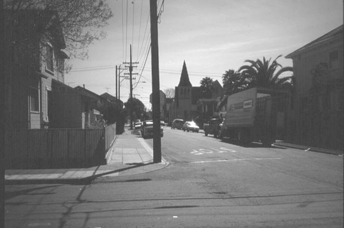
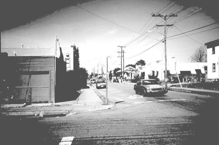
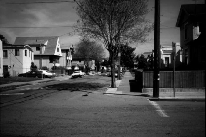
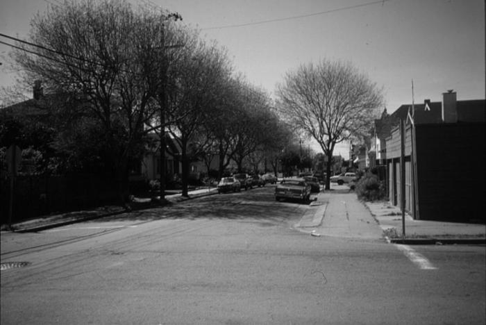
The method centers on surveying people’s immediate feelings of well-being as they walk around a neighborhood area. The subjects note down their feelings, as they go, and according to where they feel them change. The individual observations are then aggregated into a composite “feeling map” of the area studied.
Three examples of feeling surveys are presented, and one is analyzed in detail. The analysis examines the degree of agreement between people, the sources of variation in feelings, and the correlation between people’s sense of well-being and physical, social and functional aspects of the neighborhood.
The results show that there is a pattern of agreement between people, professionals and laymen alike, on their feelings in different areas of the neighborhood, and that the variation in feelings is correlated better with location in the neighborhood, than with the socio-economic characteristics of the observers.
The paper concludes with a discussion of the possible use of this method in neighborhood planning and urban design. The potential of the method as a tool in citizen participation in planning, and as a vehicle for bridging between lay persons’ and professionals’ perspectives on the neighborhood, is highlighted.


Related articles:


Planum
The Journal of Urbanism
ISSN 1723-0993
owned by
Istituto Nazionale di Urbanistica
published by
Planum Association